LABORATORY OF REMOTE SENSING
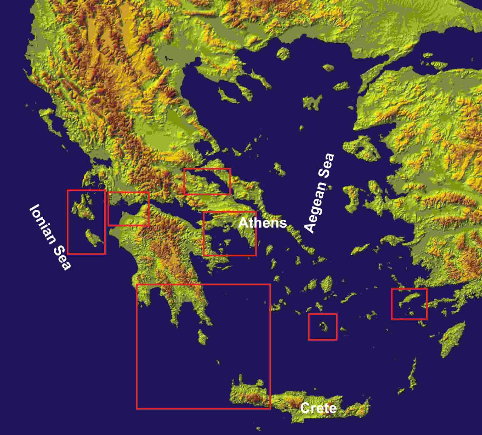
| Research > DIFFERENTIAL GPS Since 1994 regional and local GPS networks have been established to tectonically active areas of Greece for Earthquake prediction studies and Volcanic surveillance. GPS geodetic receivers of WILD, Trimble and Ashtech type were used. GeoOffice of Leica and the BERNESE (v4.2 & v5.0) software packages were used for GPS data analysis. GPS networks have been deployed:
Here is a graphical representation containing the links above:
|
|
[GPS|DINSAR|Thermal Imaging|Optical Images|GIS|Digital Cartography] |