LABORATORY OF REMOTE SENSING
|
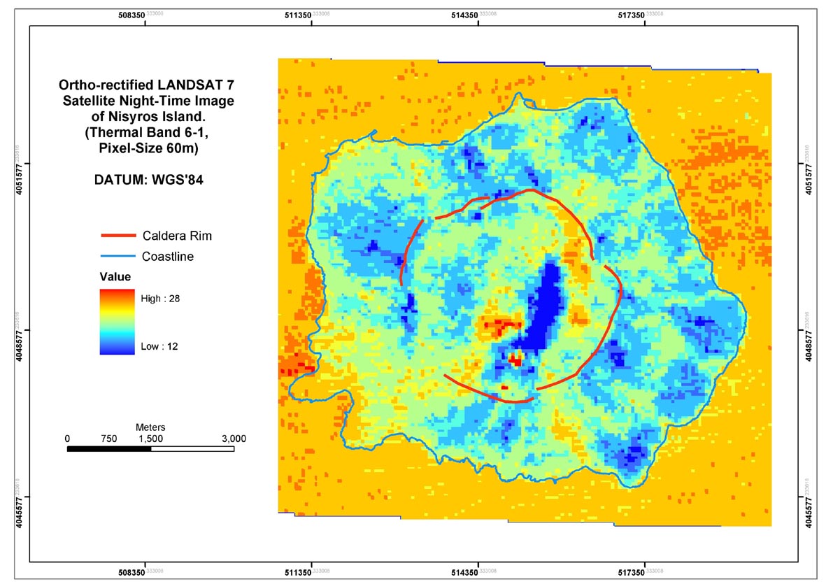
Research > Thermal imaging > LANDSAT 7 Surface Temperature Map of Nisyros Island (May 19, 2002) Ortho-rectified
LANDSAT 7, ETM+ night scene Image of Nisyros Island (May 19, 2002).
ATCOR 3 software package was used to perform atmospheric corrections
applying the "1976 US Standard Atmospheric Model", compatible with
ground-truth temperature measurements.
|
|
[GPS|DINSAR|Thermal Imaging|Optical
Images|GIS|Digital
Cartography]
[Personnel|Recent publications|Projects|Links] [webmaster@space-unit.gr] |