LABORATORY OF REMOTE SENSING
|
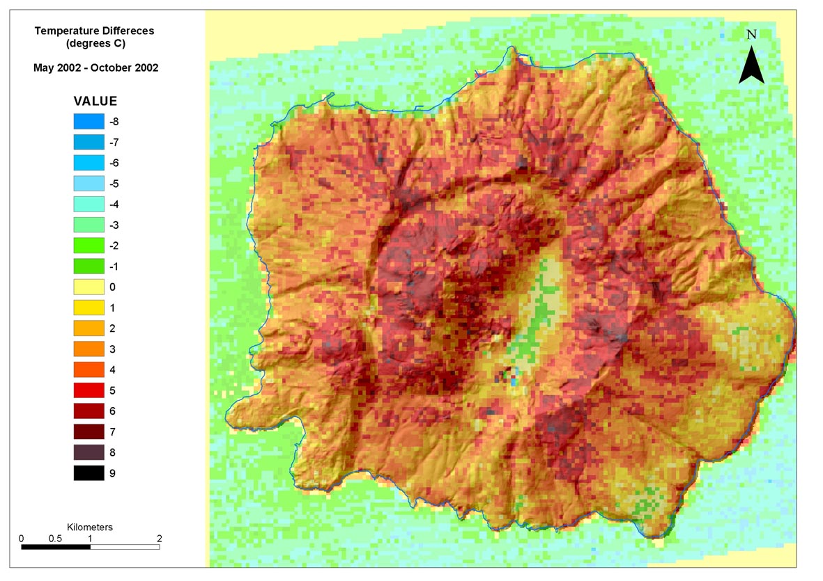
Research > Thermal imaging > LANDSAT 7 Surface Temperature Differences Map of Nisyros Island (May 2002 – October 2002) 3D Model of Surface Temperature Differences Derived from LANDSAT 7 ETM+ Data (May 2002 – October 2002).
|
|
[GPS|DINSAR|Thermal Imaging|Optical
Images|GIS|Digital
Cartography]
[Personnel|Recent publications|Projects|Links] [webmaster@space-unit.gr] |