LABORATORY OF REMOTE SENSING
|
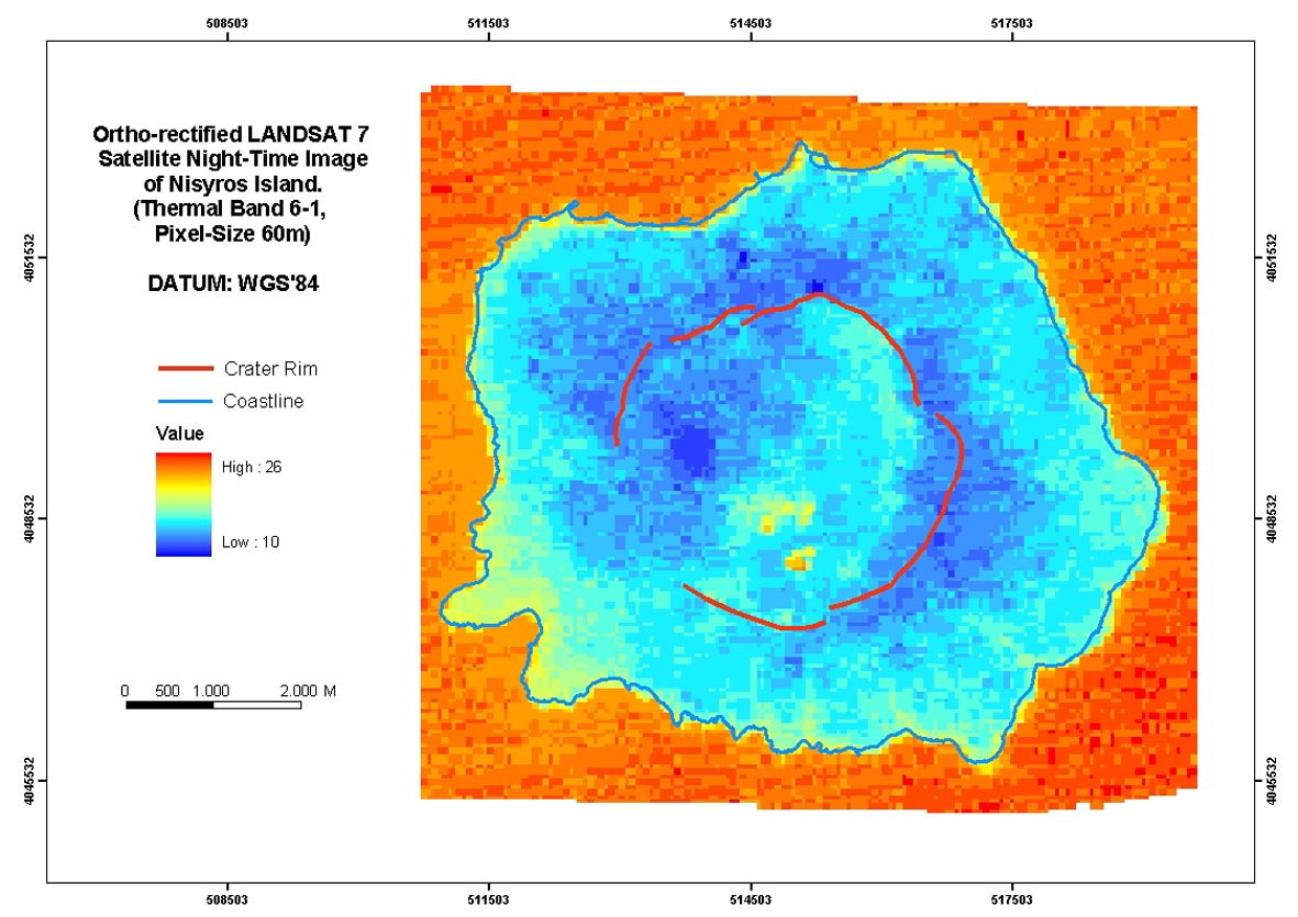
Research > Thermal imaging > LANDSAT 7 Surface Temperature Map of Nisyros Island (October 26, 2002) Ortho-rectified LANDSAT 7, ETM+ night scene Image of Nisyros Island (October 26, 2002). ATCOR 3 software package was used to perform atmospheric corrections applying the "Midlatitude Summer Atmosphere", compatible with ground-truth temperature measurements. The surface temperature ranges from 10 to 26o C.
|
|
[GPS|DINSAR|Thermal Imaging|Optical
Images|GIS|Digital
Cartography]
[Personnel|Recent publications|Projects|Links] [webmaster@space-unit.gr] |